Mumbai: Western Naval Command organizes Meghayan, symposium on WMO Day
By Rons Bantwal
Bellevision Media Network
Mumbai, 24 Mar 2017: On the occasion of World Meteorological Organization (WMO) Day – 2017, the Western Naval Command conducted a symposium titled, Meghayan, here on Thursday, March 23.
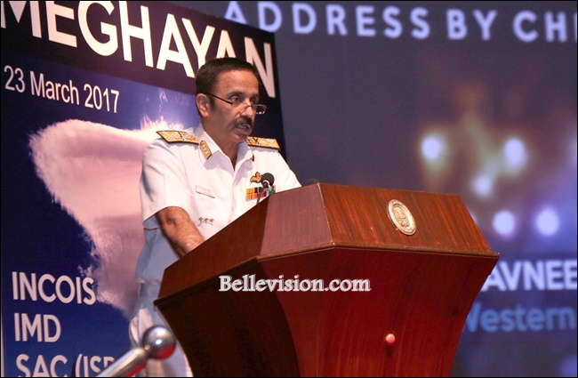
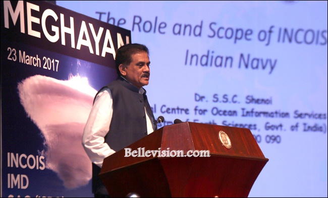
The event was inaugurated by Vice Admiral Ravneet Singh, Chief of Staff, Western Naval Command with Dr Satish C Shenoi, director, Indian National Centre for Ocean Information Services (INCOIS), Hyderabad and Dr Raj Kumar, deputy director, EPSA, Space Applications Center, Ahmedabad were amongst the prominent invitees.
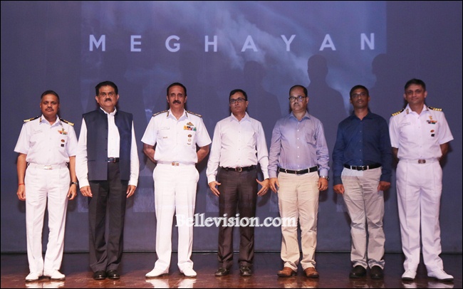
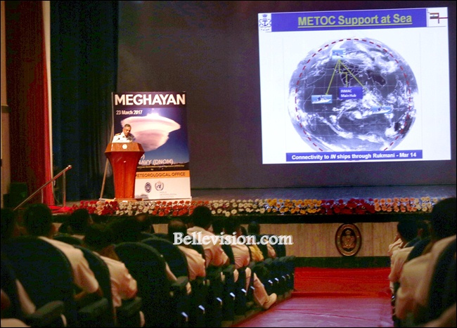
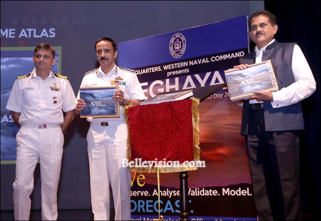
Meghayan had representation from premier scientific and research organisations like INCOIS, Hyderabad, the Indian Space Research Organization (ISRO), Ahmedabad, the India Meteorological Department (IMD), Pune as well as the Directorate of Naval Oceanology and Meteorology, IHQ of MoD (Navy), New Delhi.
Speaking on the occasion Vice Admiral Ravneet Singh said that considerations of weather are important while deciding on most aspect of warfare. He said that India’s scientific pool is unmatched and synergy between institutions is critical in order to enhance the effectiveness in the fields. Informative and relevant lectures were delivered by eminent scholars associated with Meteorology, Oceanography, Marine Geology and Satellite Applications on topics like ‘The Role and Scope of INCOIS for the Indian Navy,’ ‘Recent Developments in Monsoon Forecasting,’ ‘METOC Services in the Indian Navy,’ ‘Societal Benefits of Space Technology: Special Emphasis on Meteorology and Oceanography’ and ‘Is the West Coast safe from Tsunami?’
‘Tsunami Wave Travel Time Atlas’, documented by the Naval Meteorological Office, Mumbaiwas also released on the occasion. The Atlas has been prepared by exploiting the Tsunami Travel Time (TTT) software developed by INCOIS, Hyderabad and is to be used for quick reference in case of a tsunami threat on the West Coast of India. The atlas pages contain simulated tsunami waves from over 850 possible epicenters along the Makaran Coast and further South into the Arabian Sea. The epicenters are 0.5 degree apart. Every page provides a wave travel map and a travel time table from a particular epicenter to six prominent stations along the West Coast of India as well as Colombo (Sri Lanka) and Salalah (Sultanate of Oman). The atlas obviates the dependence on electronic communication in the time of emergencies. It will also render future Tsunami mock-drills more effective, cutting down reaction times at various Operations Rooms.
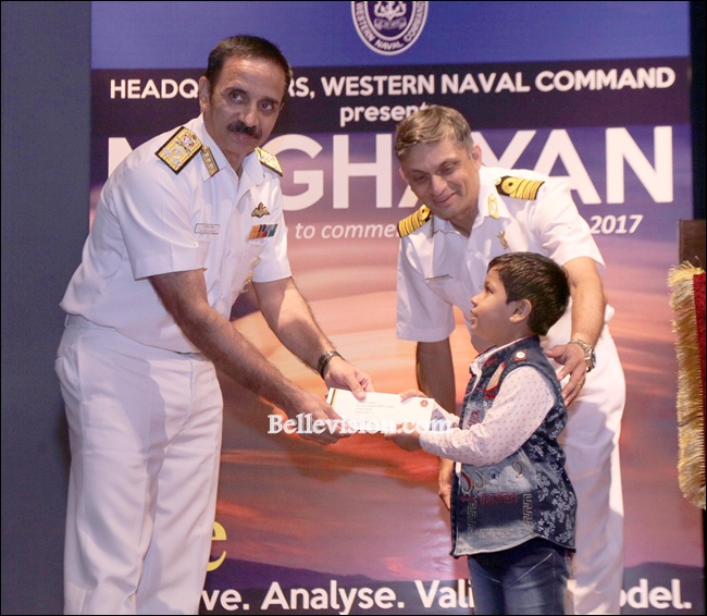
The symposium also saw winners of the Command-wide Poster/ Painting Competition, conducted in the run up to WMO Day on the theme “Understanding Clouds”, being felicitated by the chief guest.
 Write Comment |
  E-Mail To a Friend |
 Facebook |
 Twitter |
 Print
Print | Comments on this Article | |
| GUest, USA | Wed, April-24-2019, 12:04 |
| This is massive for me | |


